
Sources for Volusia County Neighbors
A block lookup works best when each source answers one narrow question. The Volusia County Property Appraiser connects a street address to a parcel card and MapIT places that parcel among nearby lots. The card can show an owner, tax mailing address, legal description, municipality or tax district, exemptions, sales references, and building facts. It does not name every person at the address. Volusia Elections offers a separate public-record route for voter data, while the Clerk keeps plats and recorded association documents.
| Block record | Useful evidence nearby | How to reach it |
|---|---|---|
| VCPA MapIT | Lot lines, adjacent parcels, streets, and links to parcel details | Free interactive map |
| VCPA parcel cards | Selected owners, separate situs and mailing addresses, legal descriptions, and sales | Free owner, address, or parcel search |
| Requested voter file | Public voter fields by address, with protected records removed | Elections order or public-record request |
| Precinct and district maps | Political geography surrounding the block | Elections interactive maps, PDFs, or shapefile |
| Plats and association filings | Formal lot pattern, subdivision name, declarations, officers, and registered agent | Clerk Plat Inquiry, recorded documents, and Sunbiz |
Owners and occupants are different groups. A tax mailing address that matches the situs address, or a homestead indicator, can support an owner-occupancy inference. It is not proof that the owner lives there now, and it says nothing certain about all household members. Condominiums need special care because one street address may cover many legal units, owners, and off-site mailing addresses.
Click Around a Volusia Block
MapIT is designed for parcel browsing, not for producing a resident list. Search the subject address in VCPA, open its parcel card, and use the MapIT link. Zoom until the lot boundaries are distinct. Select the subject lot, note the streets and parcel shape, then return to the map and open each touching or nearby polygon. Pan and zoom are more reliable than assuming that a broad address result includes the full block.
The parcel links supply a clean process flow:
- Address to VCPA parcel card and parcel number.
- Parcel card to MapIT and visible lot boundaries.
- Nearby polygon to its own card and named owner.
- Legal description to the Clerk's plat or recorded deed when identity or boundaries need confirmation.
- Municipality or tax district to the correct city or county office for local permits and code files.
Layers and measure tools may help define the area, but their availability can change. A mapped flood, zoning, or similar layer should be confirmed with the office that maintains it. For a complete named-street method, use the Volusia County street directory.
Volusia Owners Are Not Residents
The parcel roll is a current administrative record. It is strong evidence of legal ownership and tax-mail delivery, but it cannot tell who sleeps in the home. A corporate owner, trust, estate, manager, or owner with a different mailing address may appear. Renters and other occupants usually do not. Even a homestead exemption is only evidence consistent with a claimed primary home.
Common mistake. Never label every nearby owner as a nearby resident; keep ownership, mailing, and occupancy as separate findings.
That distinction matters when checking your neighbors. Record the parcel number and legal description with every owner name. If two lots have similar street numbers, the legal description and plat provide the safer match. A subdivision plat identifies lot and block geometry, streets, and easements, but it still does not establish household composition.
Volusia Neighbor Voter Records
Volusia Elections states that a voter's name, address, birth date, party, and voting participation are public, subject to exemptions. Participation means which elections a person voted in, never how the ballot was marked. The individual Voter Status tool asks for first name, last name, and date of birth. It verifies a known person; it cannot browse all voters on a street.
To study voter presence around a block, request the permitted file or fields. Channels include NextRequest and Elections public records, email at Elections@Volusia.org, phone, mail, or an in-person visit. The Supervisor of Elections is at 1588 N Woodland Blvd., DeLand, FL 32720, and is open Monday through Friday from 8 a.m. to 5 p.m. Use the current order form and price list, since both were revised in 2025. Ask for an estimate instead of relying on an old charge.
The access routes are practical:
- DeLand and West Volusia: 386-736-5930
- Daytona area: 386-254-4690
- New Smyrna area: 386-423-3311
- Mail or in-person requests: 1588 N Woodland Blvd., DeLand, FL 32720
Protected Volusia Neighbors Stay Hidden
Florida law removes important fields from public view. Social Security numbers, driver-license or Florida ID numbers, registration-source information, and signature copies are protected. Information about 16- and 17-year-old preregistrants is also protected. Occupational exemptions and the Florida Address Confidentiality Program can shield an address, and Volusia Elections excludes protected voters from released material.
The Volusia Elections exemption page explains why a block list is incomplete.
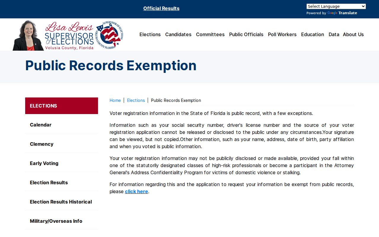
A missing record is therefore not proof that no voter lives at an address. It may mean the search details are wrong, the registration changed, or disclosure is barred. Do not try to route around those safeguards.
The text of Florida Statute §97.0585 is the primary source for confidential voter-registration information.
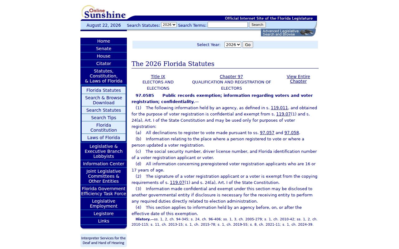
The statute helps separate fields that may be released from IDs, signatures, preregistrant data, and other information that must remain protected.
Volusia Associations and Public Contacts
Volusia County has no authoritative countywide directory of neighborhood associations. Work from the subdivision name on the parcel or plat. Recorded declarations can identify the governing association. A Sunbiz entity-name search can then show an incorporated association's public status, officers, principal address, registered agent, and filing images. These are public organization contacts, not a directory of all your neighbors.
| Community source | Public role | Resident limit |
|---|---|---|
| Clerk plat and declarations | Names the subdivision, lots, and recorded governance | Does not list current households |
| Sunbiz association filing | Shows public officers, registered agent, status, and filing history | Not a member roster |
| HOA communications | May publish a board contact or member-only notices | Roster access may require membership or consent |
| Watch, civic, or faith group | May publish officers and a public contact page | Private participant lists stay private |
Contact the public officer for an association question. Do not republish a private roster or treat a registered agent's address as every member's address.
Confirm a Volusia County Block
A strong block result uses more than one geography. VCPA confirms the parcel and tax district. The Clerk's Plat Inquiry confirms the recorded lot and block. Volusia Elections maps show precinct and district lines. These boundaries answer different questions, so they should not be treated as interchangeable.
- Verify the exact situs address and parcel in VCPA.
- Open MapIT and inspect each nearby parcel separately.
- Compare situs and tax mailing addresses without claiming they prove occupancy.
- Use the legal description and plat when lots or unit numbers are unclear.
- Check the Elections map only for precinct and district geography.
This sequence also handles postal mismatches. A Daytona Beach mailing city, for example, is not enough to establish that Daytona Beach government controls the parcel. The municipality or tax district on the parcel record points to the correct permit, code, or municipal records custodian.
Official and Commercial Neighbor Tools
Official records have a narrow purpose and named custodian. Commercial neighbor tools may merge public, purchased, and inferred data. That can be convenient, but the result may be stale, may join two people with the same name, or may miss protected information. Treat any compilation as an unverified lead.
| Point of comparison | Official Volusia records | Commercial compilations |
|---|---|---|
| Source | Named agency record or index | Mixed public, purchased, and inferred sources |
| Meaning | Limited to ownership, registration, filing, or mapped geography | May imply links not established by one record |
| Correction | Ask the responsible custodian | Correct the source first, then use the service's deletion process |
| Best check | Parcel number, legal description, filing number, or known voter details | Verify every claim against an official source |
For a wrong parcel fact, contact VCPA. For voter registration data, contact Elections. For a recorded declaration or plat, contact the Clerk. Correcting the source is more useful than changing one copy of a compiled listing.
Privacy for Volusia County Neighbors
A neighbor lookup cannot lawfully become a full household census. Motor-vehicle personal information is restricted by federal law. Utility customer and account data should not be treated as a public block directory. Parcel records omit most renters and household members, voter files omit nonvoters and protected voters, and association rosters are often private. A public officer or registered agent is a contact for the organization, not permission to expose its members.
Lawful use. Check Volusia County neighbors for civic contact, personal safety awareness, or lawful property research. Never use public records to stalk, harass, threaten, or evade an address-protection program.
Florida's Address Confidentiality Program provides a substitute mailing address to eligible victims of domestic violence and stalking. Other statutory exemptions shield certain public-safety, judicial, and related occupations. Respect the absence. If a records release appears to include protected material, stop and contact the issuing office.
For the narrow public-safety question covered by statute, use the official FDLE offender and predator search, which supports name and geographic searching.
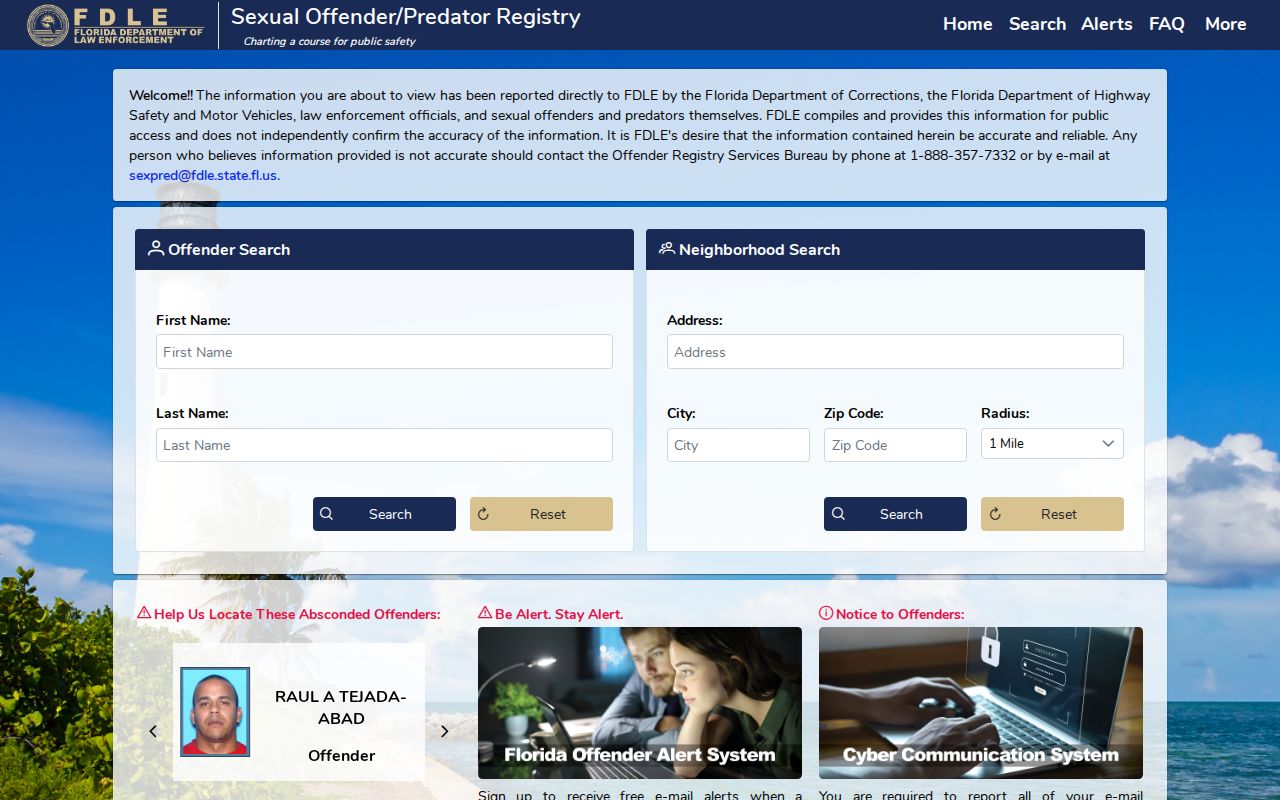
Registry results have their own accuracy and safety notices. They must never be used to threaten or harass anyone, and they do not replace parcel or voter sources for ordinary block research.