
Volusia County ZIP Coverage
Volusia County stretches from Atlantic beach communities to the St. Johns River, so the ZIP code directory needs more than a city list. The working inventory below groups the postal areas named in the county research. It is not a boundary file. USPS does not publish a simple official table of every ZIP wholly or partly in Volusia County, and several edge codes reach another county. Confirm each address on its own before relying on the postal name.
| ZIP | Volusia area served | Postal name | Local caution |
|---|---|---|---|
| 32102, 32105 | Astor and Barberville | Astor; Barberville | Astor has Lake/Volusia context; 32105 has small-area or PO-box use. |
| 32114–32124 | Daytona Beach area | Daytona Beach | Multiple delivery areas; 32124 runs inland. |
| 32127–32129 | Port Orange area | Port Orange | Mailing city and municipal line do not match perfectly. |
| 32130 | De Leon Springs | De Leon Springs | Unincorporated community. |
| 32132, 32141 | Edgewater corridor | Edgewater | 32141 reaches southwest. |
| 32136 | Flagler Beach edge | Flagler Beach | Cross-county context requires an address check. |
| 32168–32170 | New Smyrna Beach and inland areas | New Smyrna Beach | Includes county areas and PO-box uses. |
| 32174–32176 | Ormond Beach area | Ormond Beach | 32176 is coastal; postal reach can pass city limits. |
| 32180, 32190 | Pierson and Seville | Pierson; Seville | Northwestern Volusia County. |
| 32706, 32713 | Cassadaga and DeBary | Cassadaga; DeBary | 32706 is a small postal area with PO-box use. |
| 32720, 32723, 32724 | DeLand area | DeLand | 32723 has PO-box use; west, central, and east areas differ. |
| 32725, 32728, 32738 | Deltona area | Deltona | Postal delivery and city boundary differ. |
| 32744, 32759 | Lake Helen and Oak Hill | Lake Helen; Oak Hill | Small-city and southeast county areas. |
| 32754 | Northern edge context | Mims | Mostly Brevard County; verify the county. |
| 32763, 32764, 32774 | Orange City and Osteen | Orange City; Osteen | 32774 has PO-box use; 32764 serves unincorporated southwest Volusia. |
This Volusia County ZIP code directory deliberately avoids claims about exact boundary lines. Codes near Astor, Flagler Beach, and Mims show why. A familiar mailing city can cross a government line, while an unincorporated place can still carry a named postal city. No verified local ZIP split or realignment year appeared in the source research, so none is claimed here.
Verify Volusia County ZIP Records
The USPS ZIP Code Lookup is the authority for delivery designations. Its address mode takes a street address, unit when needed, city, and state. Its reverse mode lists cities associated with a ZIP. Neither mode says which county or city government controls the parcel.
| USPS mode | What to enter | What it answers |
|---|---|---|
| Find by Address | Street, unit, city, state | Delivery ZIP and accepted postal designation |
| Cities by ZIP Code | Five-digit ZIP | Postal city names tied to that code |
| Find / Submit | Completed search fields | Runs the lookup |
| Clear | No value | Resets the form |
The official lookup screen is shown below. It helps establish the mail route before another office supplies parcel or resident evidence.
Open the USPS lookup used for Volusia County ZIP verification.
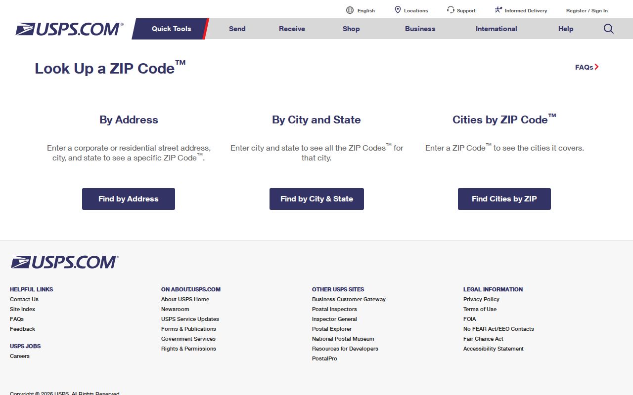
The screen supports an address-first check and a ZIP-first city check, but a VCPA search is still needed for jurisdiction.
Find Volusia County Residents by ZIP
A ZIP narrows geography; it does not identify a person. VCPA accepts a location address, not a guaranteed countywide ZIP filter. The county's downloadable parcel data may allow ZIP analysis only when its current data dictionary includes a site-ZIP field. Election data can be filtered after lawful receipt when the supplied file contains address or ZIP fields. Use the following sequence to avoid treating a mail zone as proof.
- Verify the complete address and delivery ZIP through USPS. Keep the accepted city name and unit format.
- Search the Volusia County Property Appraiser by location address. Open the parcel card and note its municipality or tax district.
- Compare the parcel in MapIT if the address lies near a city or county edge. Parcel geometry is more useful than the postal name for choosing a government office.
- For a broader registered-voter project, use the Elections public-record route and filter only fields lawfully supplied. Protected addresses remain excluded.
- Once the area is narrow enough, move to the Volusia County street directory for address-level work.
The result is an evidence chain, not a single resident list: postal ZIP to parcel jurisdiction, then the correct public roll. Property ownership does not prove who currently occupies the address.
Volusia County Daytona ZIP Patterns
The Daytona Beach run from 32114 through 32124 covers several delivery areas, and 32124 reaches inland. Beachside, hotel, and condominium development makes a street number a weak household shortcut. One building can contain many parcel units whose owners receive mail elsewhere. A Volusia County ZIP code search should preserve the unit number and then inspect the parcel identifier.
Postal wording also does not decide whether Daytona Beach government holds a permit. Check the parcel's municipality or tax district first. County government handles comparable records for unincorporated land. This is the core local geography quirk: “Daytona Beach” can be correct for mail yet wrong for the records custodian.
Note: Coastal condominium searches work best with the full unit and parcel key, not a shared building number by itself.
Inland Volusia County ZIP Lookup
DeLand uses three listed postal areas: 32720 for west and central areas, 32724 for the east, and 32723 for PO-box use. Deltona uses 32725, 32728, and 32738, with postal delivery and city limits that do not perfectly align. DeBary, Lake Helen, Orange City, Osteen, Cassadaga, Pierson, Seville, Astor, and De Leon Springs add smaller city or unincorporated contexts.
In Deltona, subdivision plats and lot-and-block descriptions are often stronger record links than a mail label. In Cassadaga, Barberville, and Orange City's 32774, PO-box or small-area use deserves care because a box does not locate the parcel itself. The ZIP code directory can group an inquiry, but VCPA's situs address identifies the land.
Volusia County ZIPs Versus City Limits
USPS designs delivery areas; local governments draw municipal boundaries. The two systems answer different questions. A Port Orange or Ormond Beach mailing name may extend past the legal city, while De Leon Springs and Osteen are unincorporated communities with established postal names. Edge codes associated with Flagler Beach, Mims, and Astor require a county check for the exact address.
The dependable local sequence is simple: USPS confirms mail, VCPA confirms the parcel and tax geography, then the city or county custodian supplies its record. Precinct and district maps are another separate geography. A precinct cannot substitute for a ZIP boundary, nor can a ZIP prove that a voter or owner lives within one municipal line.
- ZIP and ZIP+4
- A ZIP is the five-digit delivery area. ZIP+4 adds a smaller delivery segment, such as a block, building, or group of boxes.
- PO-box ZIP
- A postal code used mainly or partly for boxes. It does not place the box holder at a street parcel.
- Unique ZIP
- A code assigned to one high-volume organization. No unique Volusia code is claimed without source proof.
- Carrier route
- A group of stops served by a mail carrier. It is postal operations geography, not a city boundary.
Volusia County Voter Data by ZIP
The individual Voter Status and Precinct Locator verifies one registration with first name, last name, and birth date. It cannot browse everyone in a ZIP. A broader lawful request goes to the Supervisor of Elections through its records channel, email, phone, mail, or an in-person visit. Public fields can include name, address, birth date, party, status, precinct or district data, and voting participation, never ballot choices.
Florida law withholds protected information and addresses for qualifying voters. A failed individual match is not proof that someone never registered. For ZIP-level work, request the needed public file, confirm its present output fields and price, then filter the received data. The Elections office and its contact channels are visible in the official page captured below.
Review Volusia County Elections contact options.
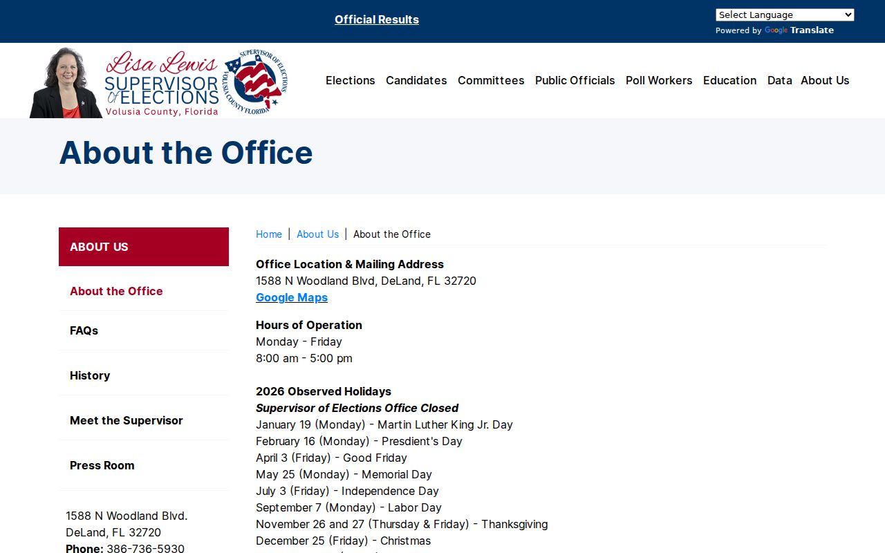
The office page provides the fallback when an online status check cannot answer a ZIP-based records request.
Use Volusia County ZIPs as Clues
Mailing ZIP, situs address, and legal description are separate clues. The situs address is the location assigned to the parcel. The owner's mailing address is where tax mail goes and may be a PO box or a different home. The legal description identifies the land through recorded subdivision, lot, block, or other survey terms even if street wording changes.
That distinction is especially useful across Volusia County. Tourism and second-home patterns can place an owner far from a coastal unit. A rural postal community may lack a city government. Search the ZIP code directory to narrow the area, but compare at least one official parcel or voter source before tying a person to it.
Keep a short record of each check: the address exactly as USPS accepted it, the VCPA parcel key, the situs and mailing fields, and the municipality or tax district shown on the card. If the address is near a county edge, save the mapped parcel context as well. This prevents a later newspaper, deed, or election entry from being joined only because it shares a postal city. For an unincorporated Volusia County property, direct permit and code questions to the county unless the parcel record points to another custodian. For incorporated land, use the named city office and ask for the specific record by address, parcel, permit, or case number.
Boundary check. A postal city is not legal proof of a governing municipality; verify the parcel before choosing a permit or code office.