
Walk a Volusia County Street
A Volusia County street directory begins with a situs address, the address assigned to the parcel itself. VCPA can establish the current owner and legal parcel. MapIT then lets the reader move across nearby polygons. The Clerk can connect sale references to recorded deeds, and a properly requested voter file may show public registered-voter fields by address. Historical occupants require a dated reverse directory, census, or newspaper source.
Keep each claim narrow. An owner is not always an occupant. A tax-mailing address can be elsewhere. A voter file omits nonvoters and protected voters, and a directory edition can omit unlisted people. The steps below build evidence rather than a guessed household.
- Enter one exact location address in the VCPA Real Property Search.
- Save the parcel number, owner, mailing address, legal description, municipality, and sale reference.
- Open MapIT and select each parcel in order along the street.
- Follow deed references into Clerk records and confirm the same legal description.
- Use permitted voter data and dated reverse directories for resident evidence.
Search Volusia Streets in VCPA
The Volusia County Property Appraiser accepts owner name, location address, or parcel number. Address search is best for one known street number. If no record appears, remove a unit or street suffix and test the official address form. A selected parcel can show ownership, mailing and situs addresses, legal description, municipality or tax district, exemptions, sale and deed references, building facts, sketches, and MapIT.
County information says property data updates weekly, so note the date used. A homestead exemption supports an owner-occupancy theory but does not list household members. Coastal condominium addresses need special care because one street number may hold hundreds of legal units with owners who receive mail elsewhere.
| Search field | Type | Required | Volusia street use |
|---|---|---|---|
| Owner Name | Text | No | Find parcels tied to a person or entity |
| Location Address | Text | No | Find the parcel at a situs address |
| Parcel Number | Text | No | Return to one exact lot or unit |
| MapIT | Linked map | No | Move from one parcel to nearby parcels |
Map Volusia County Parcels
MapIT turns the street directory into a parcel-by-parcel browse. Locate the subject property, zoom until individual boundaries are clear, select its polygon, and open the parcel-card link. Return to the map and repeat for each touching or nearby parcel. Pan, street labels, and lot lines help keep the sequence straight. A measure or layer tool defines a study area; it does not create a resident list.
Parcel geometry is useful in Deltona, where subdivision plats and lot-and-block descriptions may be more stable than street text. In Daytona Beach and other coastal areas, one condominium building can break into many unit parcels. In unincorporated places, a familiar mailing city may not name the government that holds permits.
- Parcel
- A mapped unit of land or condominium interest with its own identifier.
- Situs address
- The physical parcel location, not the tax-mailing address.
- Plat
- A recorded map defining lots, blocks, streets, and easements.
- Criss-cross directory
- A dated directory arranged by street and number.
Volusia County Street Records
No single street directory covers all eras or people. Parcel cards work one lot at a time. Deeds document ownership transfers. Plats preserve subdivision geography. Permits and code files date address changes. Voter data can add public registered-voter fields through the proper request route. Reverse directories show listed occupants in one edition.
| Street source | Keeper | What it can show | Access channel |
|---|---|---|---|
| Parcel roll | VCPA | Owner, mailing/situs, legal description | Free web; weekly update noted |
| MapIT | VCPA | Parcel shape, adjacency, linked cards | Free map browse |
| Deeds and plats | Clerk | Transfers, parties, lot and block | Web from 1988; courthouse from 1887 |
| Voter data | Elections | Public registered-voter fields by address | Order or records request |
| Permits and code | Correct city or county | Work, dates, applicant or owner notices | Portal, counter, or chapter 119 request |
| Reverse directory | Libraries | Listed occupant in a dated edition | Branch or database rules |
Carry the parcel number and legal description between sources. Street text alone is the weakest link when an address changed.
Follow Volusia County Deeds
The Clerk Official Records index searches by name, instrument number, book and page, and advanced criteria. Online documents begin April 4, 1988. Public research media in Room A121 at the DeLand courthouse reaches 1887. The deed gives grantor and grantee names plus the legal description, which survives changes to street text.
Use the parcel card's deed reference first. Confirm the legal description in the image, then search the seller as an earlier buyer. An index result can include party role, document type, recording date, instrument number, book/page, cross-references, and an image link. Clerk staff provide records but cannot perform a title or lien search.
The official Clerk fee schedule explains search, copy, and certification charges.
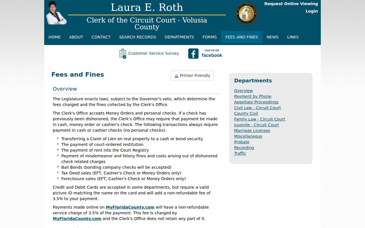
A screen index may be free, while copies and certified instruments follow the current schedule.
Voters on Volusia County Streets
The individual Voter Status tool verifies one person's status and precinct. It cannot list a street. A by-address method requires a properly ordered voter dataset with fields Florida law permits. Volusia Elections accepts requests through NextRequest, email, phone, mail, and in person. The revised 2025 order form and price list control current orders.
Public fields include name, address, date of birth, party, registration geography, and participation history, never ballot choices. IDs, registration-source details, preregistrant data, and copied signatures are protected. Address Confidentiality Program participants and other protected voters are excluded.
The Elections maps page supplies precinct and district geography.
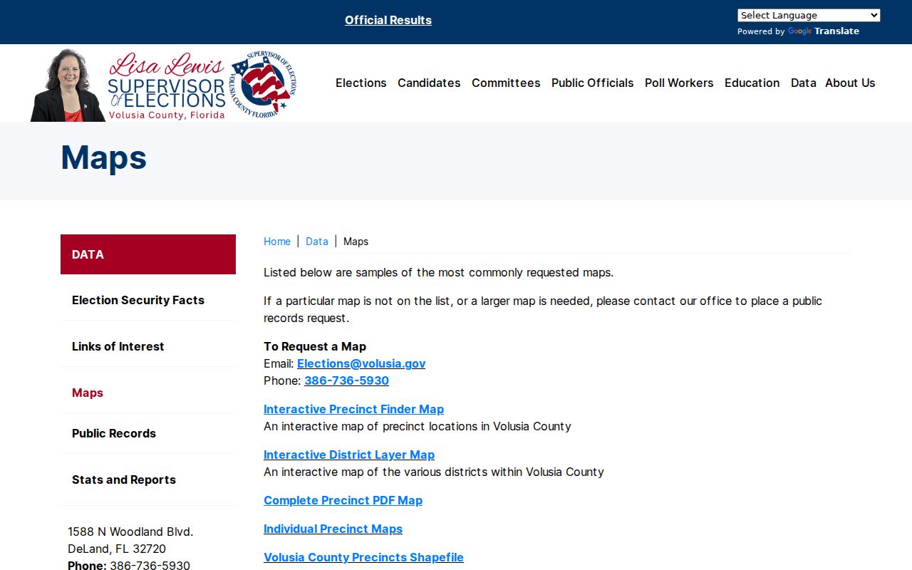
Precinct lines add civic context, but they are not parcel, city-limit, or ZIP boundaries.
Volusia Streets Cross Boundaries
A postal city is not a sure municipal boundary. USPS confirms delivery city and ZIP. VCPA or GIS confirms municipality or tax district. That second check determines whether a city building office or Volusia County holds permits and code files. The county has sixteen municipalities, each with its own local files.
Permit portals may search by address, parcel, permit number, contractor, or applicant, but coverage differs. A permit can date construction or demolition. It does not prove that an applicant lived there. Where no portal exists, use the building counter, a focused records request, library newspapers, and archives.
Historic Volusia Street Occupants
A reverse directory starts with a street and house number, then names the listed occupant or subscriber in that edition. The State Library's Florida city-directory collection spans an early-1900s-to-present statewide range, but exact Volusia city years require a catalog or staff check. County library databases add directories, census material, and newspapers.
Search Daytona Beach, DeLand, New Smyrna Beach, Ormond Beach, and “vicinity” titles separately. Pair an edition with the closest released census, now through 1950, then test moves in newspapers and deeds. Street renaming, annexation, OCR errors, or nonpublication can cause a blank hit. The Volusia County city directories give the full shelf method.
Volusia County Address Evidence
The local evidence ladder is USPS delivery name and ZIP, VCPA parcel and jurisdiction, MapIT adjacent lots, Clerk ownership, local permits, then directories, census, and newspapers. Each rung answers a different question. Do not collapse them into one household claim.
In Deltona, lot-and-block descriptions bridge weak street searches. Along the coast, unit parcel identifiers separate condominium owners. In old DeLand and Daytona neighborhoods, Sanborn maps and newspapers may explain a building or street change, but exact sheet years must be verified before making a date claim.
Read Volusia Parcel Results
A VCPA result should be treated as an inventory, not just a name hit. Save the parcel or alternate key, owner name, tax-mailing address, situs address, legal description, municipality or tax district, exemptions, sales and deed references, building characteristics, sketch, and map link. Those fields decide the next step. The municipality chooses the permit custodian. The deed reference opens the ownership transfer. The legal description ties both records to the same land.
Mailing and situs equality may support owner occupancy, but it does not prove it. A coastal owner may receive tax mail in another state. A trust or company may appear instead of a person. A parcel may also hold a mobile-home interest or condominium unit that does not match the apparent street shape. Check the unit and parcel identifiers before moving to the next lot.
Official-record results need the same care. Party name and role, document type, recording date, instrument number, book and page, legal description, and image availability each matter. Grantor is the party transferring an interest; grantee receives it. A deed chain belongs to the land only when the legal description continues to match.
Volusia Street Research Fallbacks
Online access has firm limits. Clerk web coverage stops at April 4, 1988, so an older deed search moves to the DeLand courthouse research terminals and media. The Historical Records room can provide original-book access by appointment. A municipal permit portal may have a different start date or no public index at all. In that case, contact the city or county building office with the address, parcel, permit number, and date range.
Library branches supply another path. Ancestry Library Edition is available only inside a Volusia County Public Library branch on its computers or Wi-Fi. HeritageQuest offers remote library access, while NewsBank can bridge directory gaps with the Daytona Beach News-Journal, DeLand historical newspapers, and the West Volusia Beacon. Search the address in quotation marks, then search the surname by itself because old newspaper text recognition often misses initials and hyphens.
Sanborn maps can show an older street name, number, lot pattern, or building footprint where sheets exist. The Library of Congress and Florida collections are the relevant sources, but Volusia city coverage and sheet years vary. Confirm the exact map title and date rather than assuming a town is present. When all online paths fail, the fallback chain is the correct office counter, a focused chapter 119 request, the library, then the state or local archive.
Limits of Volusia Street Records
A Volusia County street directory cannot enumerate every renter, child, guest, or household member. Motor-vehicle addresses are restricted. Utility and delivery records are not open street rolls. A mailing address may be a post office box or another home, while a deed establishes land ownership rather than daily occupancy.
A blank search can mean a wrong suffix, unit, city, date, spelling, protected address, or old street form. Retry with the parcel number and legal description. Ask the custodian for a defined record when an index stops. Never treat no online result as proof that a person did not live there.
Record the date, exact query, and source for every result. Street directories change as parcels split, owners move, voters update registrations, street forms change, and offices correct their indexes. A saved citation and parcel key make later comparison possible without repeating the whole search.
Lawful use. Use Volusia County address records for lawful family, property, civic, and neighborhood research, never to stalk, threaten, trespass, or harass.